San Diego International Airport (SAN)
Orientation and Maps
(San Diego, California (CA), USA)
Featuring a stunning natural harbor area and plenty of outstanding waterfront attractions, the city of San Diego is full of life and energy. The downtown district of San Diego is particularly lively, containing a vast cultural park, endless nightspots and major tourist attractions, such as the San Diego Zoo and also the extremely popular SeaWorld.
Close to the city center and located on the northwestern side, San Diego International Airport (SAN) is situated off the North Harbor Drive, just minutes away from the downtown area. Frequent Greyhound buses arrive and depart from the bus station along West Broadway and travel to a host of US cities, such as Las Vegas, Los Angeles and Phoenix. For those arriving by train, the Amtrak station is sited along the Kettner Boulevard.
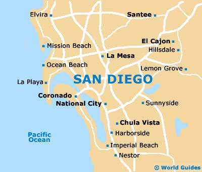
San Diego Airport (SAN) Maps: Important City Districts
Downtown San Diego is the true heart of the city and is a fairly compact and walkable area. Home to the extremely historical and appealing Gaslamp Quarter, the downtown district is full of shopping opportunities, places to eat out and lively activities, such as dancing and live music.
On the southwestern side of downtown San Diego, the Coronado area lies across an eye-catching bridge. If you are looking for culture and museums during your visit to the city, the northern Balboa Park is a must, being close to the Hillcrest area.
Popular coastal attractions on the outskirts of San Diego include Mission Beach, Ocean Beach and also Pacific Beach. All of these locations provide the perfect place to top up your tan. To the north, the La Jolla area tends to offer a more sophisticated feel.
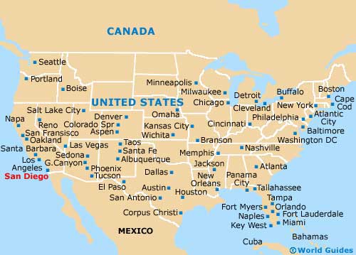
USA Map
California Map

San Diego Map